Tuesday, July 26, 2011

Stone Tower, Lynn


I love Lynn Woods. Since I  "discovered" the place a year ago, I've been visiting there multiple times. People I meet on the trail are very friendly. Each time I greet them, they show me a genuine smile and throw some conversations. It has a good vibe, my kind of good vibe.

Walden Pond

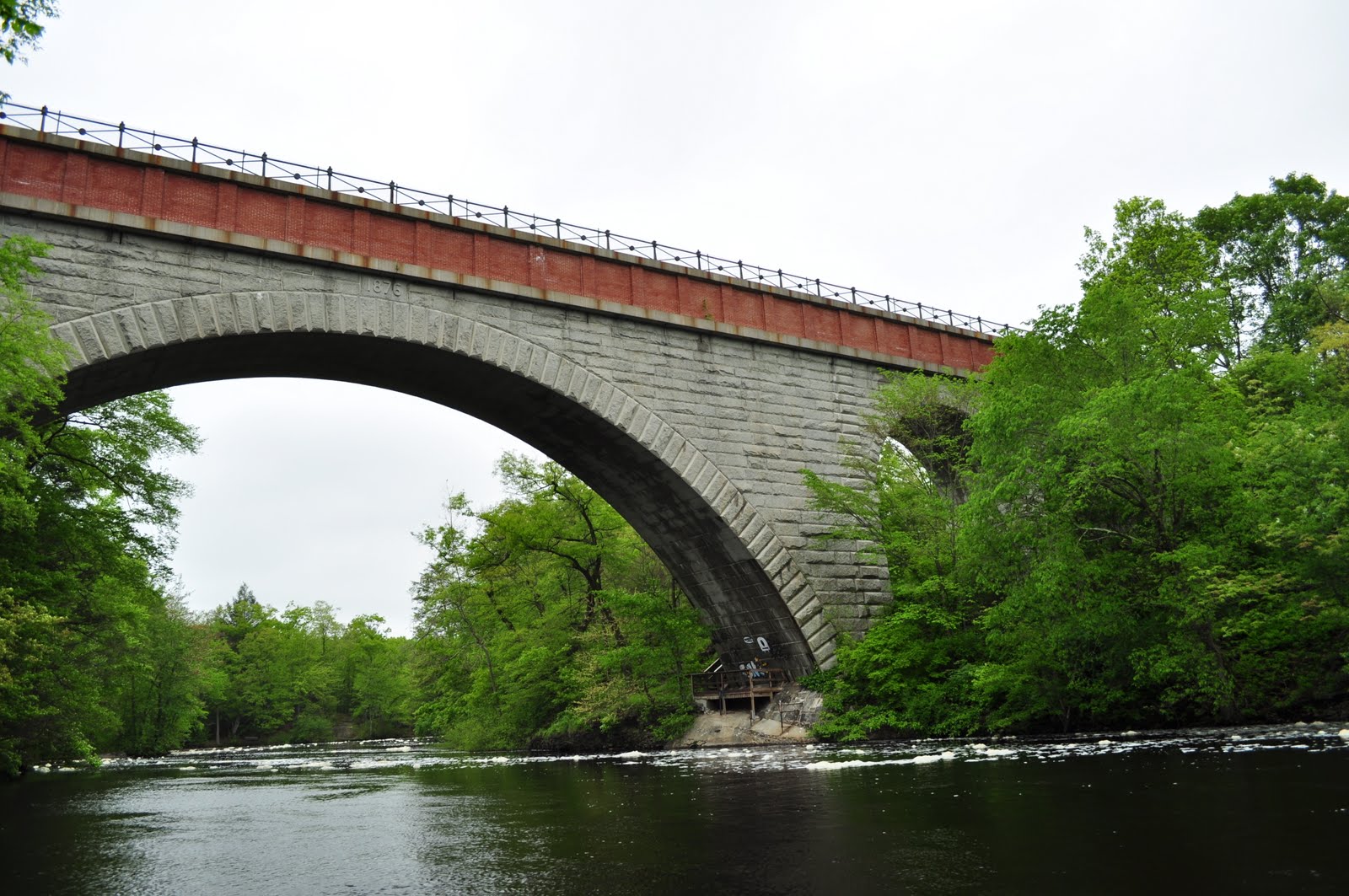
Lynn Wood Reservation was founded in 1881. The 2,200 acre (9 km2) of woodland is dotted with lots of rocks and boulders; the most famous one would be Dungeon Rock. I will cover the rock in a later post. So stay tuned.

Rocks, rocks, rocks...

I love Lynn Woods not only because of the funky atmosphere filled with rocks and boulders. If you visit any reservations in Massachusetts, you'll likely come across a stone tower built by the WPA during the 30's. Yes, the job creation tower, I'd say. Lynn Woods is no exception.

I've been rather obsessively covering those towers in my blog, and the tower I'm going to introduce today is the third tower in the Lynn-Melrose-Medford area; finally the WPA stone tower triangle has completed.

Then today's tower:

Burrill Stone Tower, Lynn

I have to say every WPA tower is made equal, but personally, this is the handsomest one. (Am I stirring up a controversy?) It looks like a pencil shaped medieval dungeon tower!

This 48 ft (15m) tall stone tower was created by the WPA masons in 1936 to watch out for fire. It sits on the 285 ft  (87m) high Burrill Hill, the highest point in Lynn.


I was informed by a reader that the tower was recently refurbished, hoping to climb up the tower to the top. My expectation was very high; I was so exited that I began to regard Lynn Woods as the theme park for rocks, the mineral one, and the tower as the anchoring castle of the theme park.

Thank you Mr. & Mrs. Richardson for restoring my favorite tower!

I reached the top of Burrill hill, and went up the entrance stairs leading to the tower gate. Alas, it was closed, locked! I later learned that the tower was available by appointment only. I have to confess, I am too lazy to plan even a few days ahead.


At least, I tried to peek through the heavy iron gate to see the interior; it did look like it's in a great shape. How do I know? Look at the photo I took a year ago:

Watch out for...what? Aim the head?!

Why are kids nowadays obsessed with zombies? If you have a time to manifest your apathy towards the society we are in by doodling onto my favorite tower, why don't you stack some stone? Like building a mini Stone Tower or something. Or wait, they might really see zombies, leaving me a valuable tip for combating them?


Check out another fabulous tower in Lynn: High Rock Tower and Stone Cottage, Lynn

Locate Stone Tower, Lynn @ Google Map

Friends of Lynn Woods: http://www.flw.org/landmarks.html#stone_tower
Trail map, Friends of Lynn Woods (pdf): http://www.flw.org/pdf_files/lwmap.pdf
Burrill Stone Tower, MACRIS: http://mhc-macris.net/Details.aspx?MhcId=LYN.976

Tuesday, July 12, 2011

Echo Bridge & Elliot Manufacturing Co., Newton-Needham

Continue from: Echo Bridge, Newton-Needham

Former Elliot Manufacturing Company 

The construction of Echo Bridge completed in 1876 as a part of the Sudbury Aqueduct. The waterway began operating in 1878 to transport water from Framingham to Chestnut Hill for the purpose of supplying drinking water to the Metropolitan Boston area. 

Echo Bridge

Currently utilized as a backup waterway, the aqueduct was in full use until 1978. Echo Bridge is now open to public as a part of Hemlock Gorge Reservation.

After investigating around the gorge (see the previous post: Echo Bridge, Newton-Needham), I went up to the bridge by approaching from the Newton side.


The first feature I noticed was how the bridge surface was slightly inclined like a roof slope. The rain water drips easily from the surface, and snow won't accumulate to the degree the bridge collapses. From an eye of a civil engineer, I guess that is a common practice. But I was simply impressed by the ingenious design!


The original parapets were blocked by a tasteless...uh...functional modern chain link fence. But look closely at the original fence; you can find the emblem reads as "BWW"... It must be the acronym of "Boston Water Works". At first, I mistook the logo as the one of a German automaker.


From the top of the bridge, the view of the gorge was impressive, made me forget the fact that I was in so-called Boston suburb. Looking north, the emerald colored  trees (I visited in May) were very beautiful but the noise from Route 9 and the mysterious foam on the river reminded  me a gentler version of the "Crying Indian".

North view, Rote 9 on the upper right

Looking south, the view of the old cotton mill factory was very quaint; the unchanged view for the last few centuries. Although, the sight of the mill could have been a "modern" eyesore back in the 19th century.

South view

The old mill was established prior to the arrival of Echo Bridge Aqueduct. The mill, Elliot Manufacturing Company replaced the original industrial complex consisted with a saw mill (dates back in the late 17th century), grist mill, fulling mill, snuff tobacco mills, and blacksmith related shops in 1821. The company manufactured cotton until 1884, and then silk until 1962. Like Lowell's mills, the dam must have been used to power the looms.

Thinking about the controversy of the construction of the Suiro-kaku waterway in 19th century Kyoto, I was wondering whether the establishment of the cotton mill was regarded as the modern industrial eyesore that disturbs the beauty of the gorge. But the saw mill had been existed on the location since 17th century; the gorge was always regarded as the industrial site...

On the contrary to my initial thought, the arrival of the Elliot Manufacturing Company might have been a welcoming change to the neighborhood (especially for the managerial class) because the snuff mills were regarded as  "a temptation to the many of the people to indulge in the filthy habit" (from History of Newton)!


I crossed the Newton-Needham line towards Needham. The bridge ended but the underground aqueduct kept going on. When I visited the Wachusett Aqueduct and its overhead bridge, the area was an off-limit. So walking on Echo Bridge and  the Sudbury Aqueduct was very exiting!


There was a huge rock by the aqueduct route. Looking closely at the rock, there were remains of drilling holes, suggesting it had been a much bigger rock blocking the aqueduct route. What did the workers use to crash the rock? Did they drill those holes to insert cartridges to blow up the rock?

The greenway ended abruptly after a few minutes walk. The beltway was in front of me. The busy traffic noise of I-95 reminded me that the afternoon rush hour started. I looked my watch, it was past 3 o'clock.


Locate Echo Bridge @ Google Map
Also read: Wachusett Aqueduct, Northborough

Elliot Manufacturing Company, Macris database: http://mhc-macris.net/Details.aspx?MhcId=NWT.89
Discover Historic Newton Falls (PDF): http://www.ci.newton.ma.us/cdbg/hist/upper%20%20falls.pdf
History of Newton, Massachusetts (google book): http://books.google.com/books?id=sxOAuf1PSC8C&pg=PA269&lpg=PA269&dq=Elliott+Manufacturing+Company+newton&source=bl&ots=lun8YI4pKB&sig=X8oaT_UstupC5eEvJsro7_at5nI&hl=en&ei=T5cYTqbWKse_gQfA_K0a&sa=X&oi=book_result&ct=result&resnum=4&ved=0CDMQ6AEwAw#v=onepage&q&f=false

Sunday, July 3, 2011

Echo Bridge, Newton-Needham


Echo Bridge is a part of the Sudbury Aqueduct. The aqueduct connects the Sudbury Reservoir in Framingham and  the Chestnut Hill Reservoir by Boston College. The linear distance between the two is about 20 miles. The construction of the Echo Bridge finished in 1876, and the aqueduct began operating in 1878 . The Sudbury aqueduct was active until 1978 and currently utilized as a backup waterway. This well maintained, beautiful bridge is currently open to public as a part of  Hemlock Gorge Reservation.

An oncoming car slowed down, sorry I must have looked like a cop with a seed gun

Starting from the mid 19th century to 1930's, four aqueducts -- the Chochichuate, Sudbury, Wachusett, and Quabbin Aqueducts -- were constructed to supply water to the Metropolitan Boston area. Only the latter two are still in use.


Echo Bridge aqueduct crosses Hemlock Gorge part of the Charles. I wonder whether the information becomes handy to you in the future, but the gorge splits the town of Needham and Newton; the Echo Bridge spans over the two towns. The valley is surrounded with Hemlock tree, hence the name, and from a first look, it looks very serene. However, the bridge is in the vicinity of the beltway (I-95) and a busy commuter road (Route 9), and the sound of traffic is consistently heard from those roads.


What is this mysterious, cappuccino-like foam on the river? I must say I'm bit concerned with the water quality. The bubbles are formed because the water has been stirred up by the man-made water fall nearby. I assume the fall was used to power weaving machines in the old mill, which currently converted to an office and shop space.


I forgot to explain it to you: why is this bridge named "Echo Bridge"? If you position yourself like the below photo and shout, your voice echos. Rather simple naming...Did I try? No, I was alone and bit embarrassed to try. I know I should have...Well, report me the result of your "yo-ho".


Shall we go up to the bridge?


Continue to: Echo Bridge & Elliot Manufacturing Co.

Locate Echo Bridge, Newton-Needham @ Google Map

Sudbury Aqueduct, Waymarking: http://www.waymarking.com/waymarks/WM50N0_Sudbury_Aqueduct_Echo_Bridge_Needham_MA