Mercantile Wharf Building is one of the creations of Gridley James Fox Bryant. Prolific in the mid 19th century, he represented the Boston Granite Style thorough
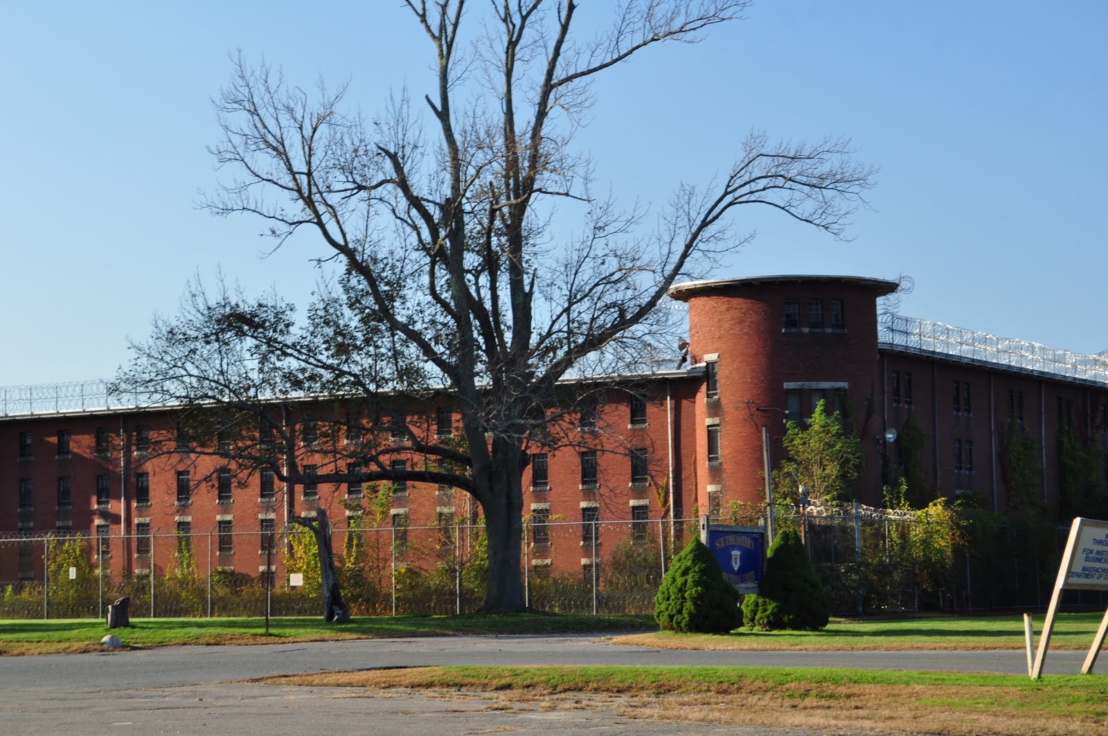
Charles Street Jail (1851),
Washington Tower at Mt Auburn (1854), and the
Cambridge Poor Farm(1851).
Completed in 1857, Mercantile Wharf Building is in an once busy dock area. The building stored goods for the adjacent Quincy Market.
1946 Map of Boston, Blue * indicates the loc. of Mercantile Wharf Bld: From Mytopo
Upper Balloon: Mercantile Wharf Bld, Lower Balloon: Quincy Mkt: From Google Map
Currently, the Quincy Market and Mercantile Wharf Building are divided by two busy through ways. But it used to be a stone's throw distance; upon the construction of the much dreaded elevated I-93 (
John F. Fitzgerald Highway) in the 50's, the building was "chopped into a half" to make a way for the the highway. If you look below pictures of the both sides, it is quite noticeable what happened to the south side.
North side
South side
I always thought the bare brick side is sort of cool, but I didn't realize it was a scar the urban renewal had left to this building; it torn the fabric of the community and the forcibly particled space would never be united again as a coherent neighborhood (For more about the division caused by the elevated I-93, please refer to my
previous post).
The building was converted to a multi-use commercial space and apartment in 1976. On a sunny weekend, the area is filled with people. Looking over a waterfront park with a carousel, Mercantile Wharf Building has sure not only changed its purpose but witnessed the neighborhood transformation.
Locate Marcantile Wharf Building @
Google Map
http://mhc-macris.net/Details.aspx?MhcId=BOS.5216
http://mhc-macris.net/Details.aspx?MhcId=BOS.5221
http://archboston.org/community/showthread.php?t=1030
http://bostonlookingbackward.wordpress.com/2010/11/17/the-rise-and-fall-of-the-mercantile-wharf%C2%A0building/
http://historical.mytopo.com/getImage.asp?fname=bsns46ne.jpg&state=MA (1946 Boston South, Northeast)